


M60 Junction 5: Northenden / Princess Parkway
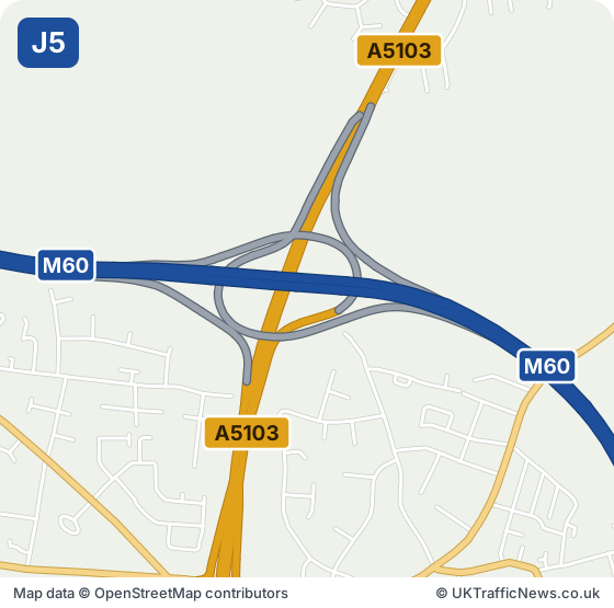
M60 J5: Princess Parkway Interchange. Northenden, Northern Moor and West Didsbury lie beside it, and Wythenshawe is a little over two miles to the south.
Spire Manchester Hospital is about a mile north-east and Brookway Retail Park about a mile and a half south-west. Platt Hall and Fallowfield Retail Park both appear about three miles north-east, and Wythenshawe Hospital about two miles south-west.
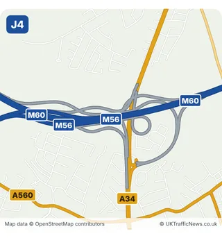
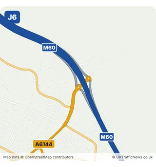
Kingsway Interchange is about two miles away, and Junction 6 roughly a mile and a half.
Check this junction now: live M60 speed flow map · latest M60 traffic news · M60 trends
How busy is the M60 at junction 5?
The Department for Transport does not publish a separate count for the stretches either side of junction 5. The nearest counted stretch is J7 to J6, with 144,003 vehicles a day in 2025. Every count point is on our page how busy is the M60.
Collisions near junction 5
The police recorded 10 injury collisions on the M60 within about 2.5 km of this junction in 2024 and 2025 (2 serious, 8 slight); 4 on a wet or icy road; 1 in darkness; 7 in the morning or evening rush hour. These are the police-reported figures published by the Department for Transport (STATS19).
- Junction M60 J5
- Signed for A5103 · Northenden / Princess Parkway
- Next junction clockwise J6, Sale / Sale Moor
- Next junction anticlockwise J4, Cheadle interchange (M56 to Manchester Airport)
Live traffic at M60 junction 5
The speed strip below shows the M60 around junction 5, both directions, from National Highways’ live data, checked every five minutes.
Live traffic speed flow: M60 Junctions 4 to 6
Untick all three to see just the speeds. We show the important overhead signs and the mandatory speed limits (red ring); see every overhead sign.
Go to our live M60 traffic speed flow map ›
NOTE: The speed flow, overhead sign messages or other information shown on our live traffic speed flow map is updated every few minutes. We cross check the data and aim to provide warnings if there could be a delay or an inaccurate speed reading. There can be occasions, beyond our control, and despite our best efforts where the speed flow could be inaccurate. We cannot therefore guarantee the speed you can expect on any stretch of the motorway is always accurately shown. However we hope you will find our live traffic speed flow map a useful tool in trying to plan your journey. Safe driving.
All the latest M60 traffic news →Live M60 traffic speed flow map →
Around M60 Junction 5: Towns and Places on the Map
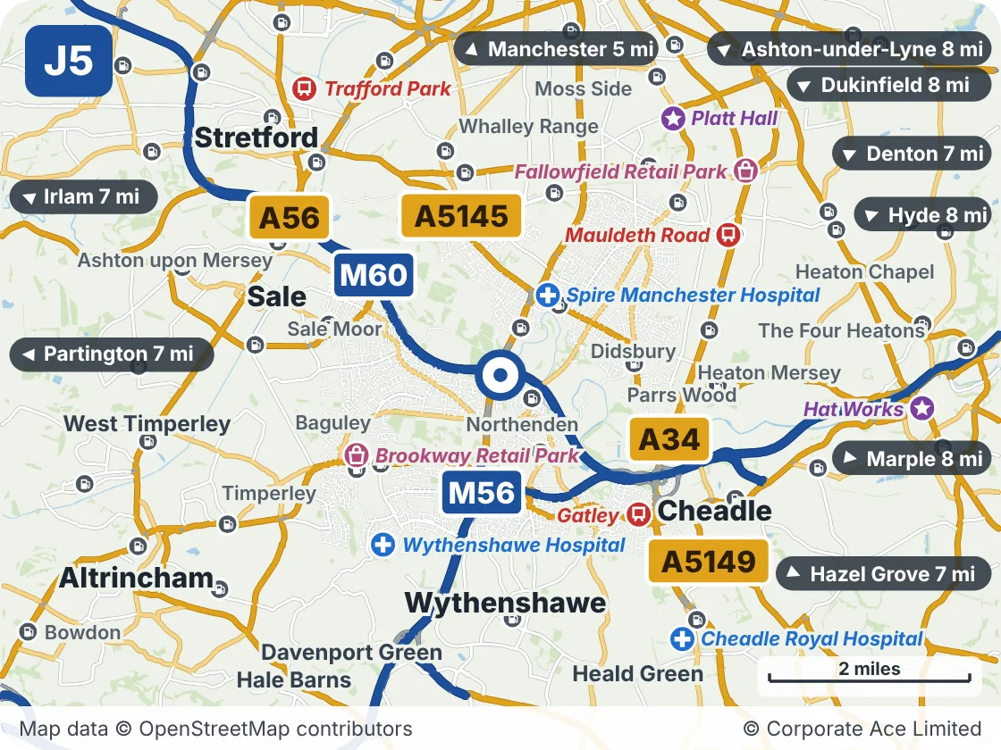
| Place | What it is | From the junction |
|---|---|---|
| Spire Manchester Hospital | Hospital | About 1 mile north-east |
| Brookway Retail Park | Shopping | About 1.5 miles south-west |
| Gatley | Railway station | About 2 miles south-east |
| Wythenshawe Hospital | Hospital | About 2 miles south-west |
| Mauldeth Road | Railway station | About 2.5 miles north-east |
| Platt Hall | Attraction | About 3 miles north-east |
| Fallowfield Retail Park | Shopping | About 3 miles north-east |
| Cheadle Royal Hospital | Hospital | About 3 miles south-east |
Junctions either side
Live traffic news at M60 Junction 5
Incidents and roadworks between Junction 4 and Junction 6 that we are aware of.
Mobile hardshoulder closure Clockwise and Anticlockwise
01:36 (1:36am)22 Oct 2026reported 26 min ago
- Location
- M60 anti-clockwise between J1 and J27
- Direction
- Anticlockwise
- Lanes closed
- Hard shoulder closed
- Reason
- Litter clearance
- Schedule
- 09:00 (9am) Tue 7 Apr 2026 → 23:59 (11:59pm) Thu 1 Apr 2027
+ 4 more near Junction 5 - see all the M60 traffic news →
This is the news for Junction 5 only, not the whole M60. For the rest of the motorway see all the latest M60 traffic news, the overhead signs and the speed limits in force now.
Updated 02:02 (2:02am) Thu 22 Oct 2026